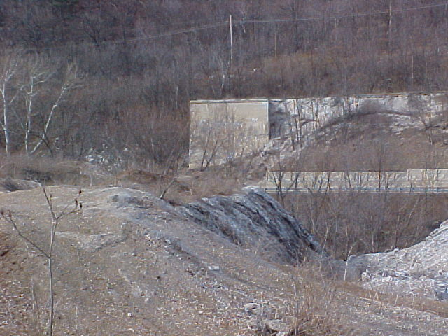
View of the the main abutment from the Cinder Dumps. The road you see is US 30. The Raystown Branch of the Juniata River lies between what you see in the foreground, and the highway in the distance
The following pictures are the remains of what was commonly known as the "Thropp Trestle", built by the Huntingdon & Broad Top Rail Road in 1912. The bridge was built so that Thropp wouldn't have to pay the Bedford & Bridgeport branch of the Pennsylvania Rail Road extra fees to cross the old Mt. Dallas bridge on their line. The H&BT line ended on the north side of the bridge, and since PRR owned the old bridge, and with Thropp's furnace being on the south side of the river, Thropp had to pay the PRR for his materials crossing the bridge, and also to transport his goods the short distance up to his furnace on his own tracks (which I speculate were on a grade once destined for the South Penn Rail Road, based on the location.)
Thropp had been suggesting the construction of the bridge for many, many years, and finally got his wish in 1912. The bridge was only in operation for roughly 10 years, and was eventually torn down for scrap in the 40's.
Much disinformation has been looming around the area for some time regarding this bridge, mainly due to a mistake in a "western Pennsylvania tourist guide" published in the late 80's, that listed many potential sites that may be of interest. Among these, was the abutment in the picture below, which they listed as "Thropp's Folly". They described the bridge as a bridge that never was, claiming that Thropp's company started building the bridge, going bankrupt before it's completion, all of which is totally false.
Aside from this little mistake, other misconceptions and rumors exist about the bridge, such as Thropp owning and building the bridge, which is false. Also, it is rumored that the bridge had "J. E. Thropp" painted across it. There are no photos that support this. And finally, it is local lore that a worker fell into the wet concrete of one of the abutments during construction, and was just left in place. Again, there is no record of this.
View of the the main abutment from the Cinder Dumps. The road you
see is US 30. The Raystown Branch of the Juniata River lies between what you see
in the foreground, and the highway in the distance
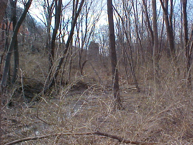
From the edge of the main part of the Cinder Dumps, the other remaining
abutments of the Thropp Trestle can be seen in the distance.
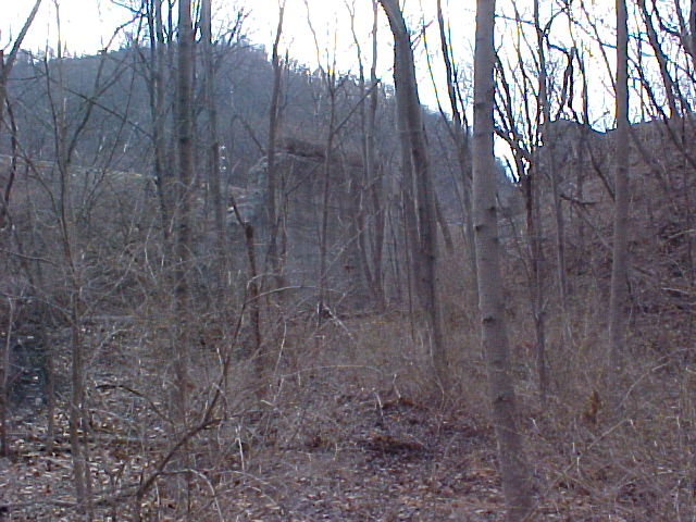
Getting closer...
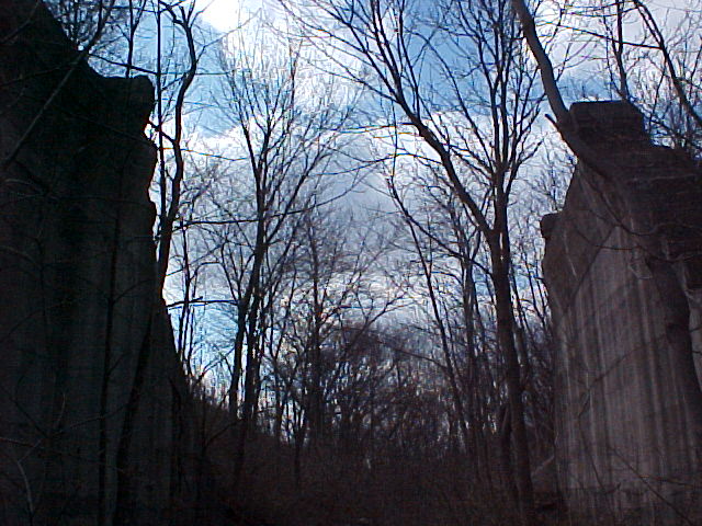
View from between the abutments. Notice how the tops are leaning badly. The one on the left, has generally always leaned, ever since I was a kid, visiting the area. The one on the right, however, was perfectly straight back then, and I wouldn't be surprised if this one collapses in my lifetime.
Another thing I've learned recently, which would explain why it was chosen to bridge the particular area in the above photo, as opposed to just filling it like they did to the area to the right of the above picture, is that this is where the South Penn RailRoad right-of-way went through. Even in 1912, when this bridge was built, despite the SPRR project being abandoned in 1885, there was still the possibility of the right-of-way being used, so it had to be worked around.